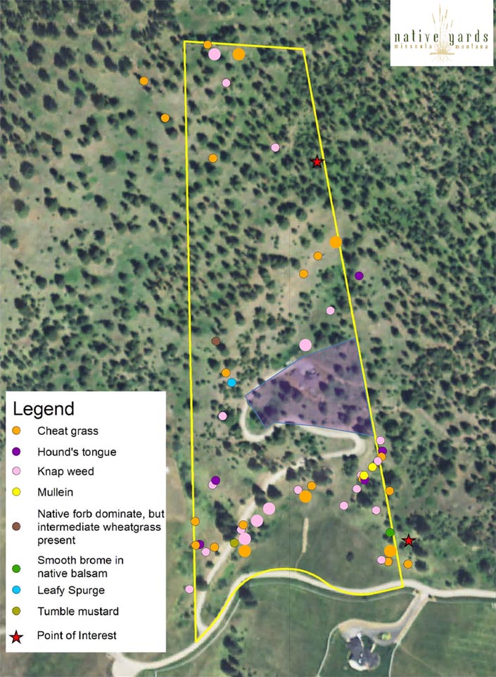
Clients with more than a city lot, from 0.5 acres to 10,000 acres, want to know what kinds of plants they have and where they are located. Using our Trimble unit and cartographer, we are able to create Google Earth based maps that show you precisely where the plants or points of interest are, be it invasive plants, native plants, trees of interest, of even bird nests or snags you want to know about.
Your property does not need to be a mystery; use the maps we create for you to discover and learn!

